peakit
Plan your day in the mountains. peakit brings weather, slope shading, sun timing, offline maps, GPX routes and off-grid mesh comms into one privacy-friendly app — no accounts, no tracking.
Why peakit
peakit is a planning aid for hikers, ski tourers and mountaineers. Bring together the forecast, slope angle & aspect, sun & shadow, and the trails that get you there — all in one map you can take offline.
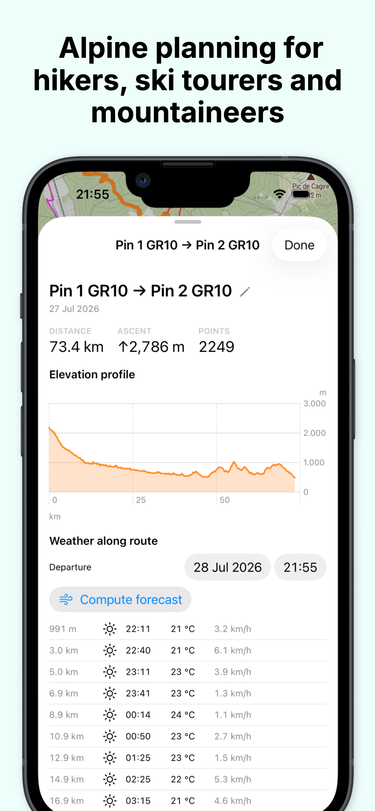
Upgrade to peakit Pro for the 7-day forecast, unlimited offline regions, sun & shadow overlay, route elevation profiles, GPX export, Meshtastic group tracking and quick access to EAWS avalanche bulletins.
See it in action
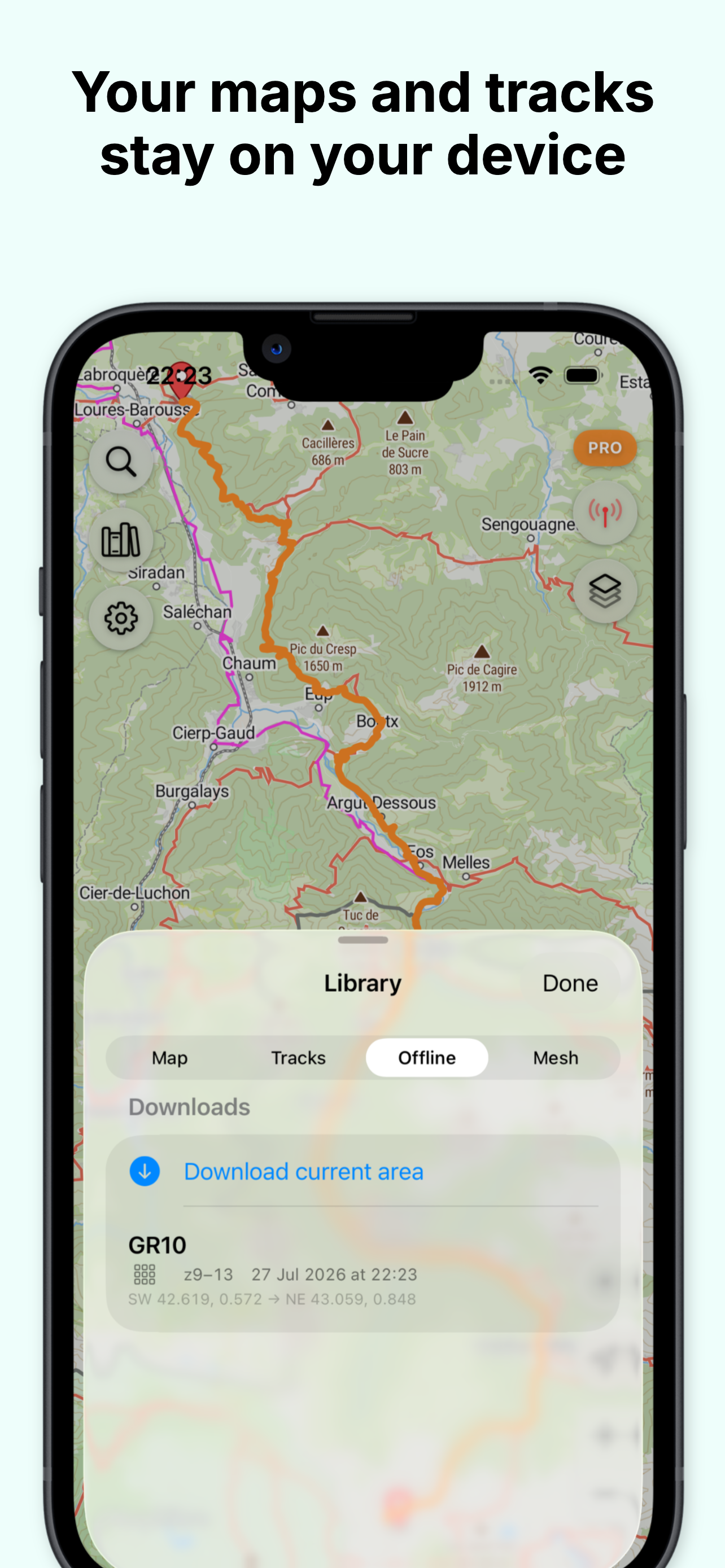
Outdoor maps, fully offline
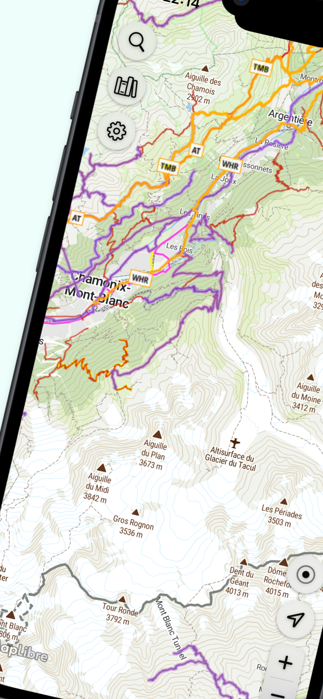
MapTiler outdoor tiles with contour lines & hillshading. Download regions ahead of time — the map, slope shading and forecast all work offline in the field.
Forecast with elevation snap
Weather from Open-Meteo, snapped to the elevation of the point you tap so you're reading the summit forecast, not the valley one.
Slope shading & sunPro
Avalanche-scale slope-angle colour ramp, plus per-face sun & shadow with a time slider. Understand the terrain and the light before you commit.
Routes & hiking trails
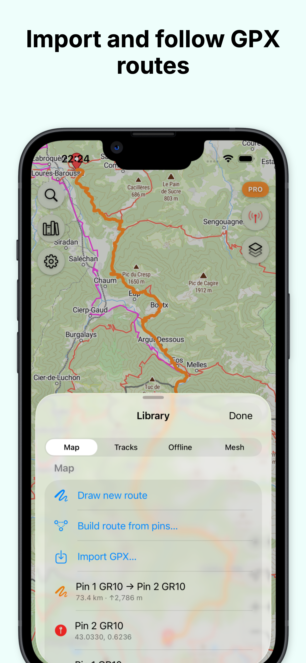
Import GPX, draw a route on the map, or snap between waypoints along real hiking trails via Open Route Service. Hiking network overlay via Waymarked Trails.
Meshtastic group trackingPro
Pair a Meshtastic node over Bluetooth to see where your party is, share waypoints and message each other — no cell signal required.
Avalanche bulletinsPro
Quick access to the current EAWS avalanche bulletin, right from the Layers menu. Always cross-check the official source before backcountry travel.
Data sources
Weather from Open-Meteo. Map tiles & terrain elevation from MapTiler. Trails & place search from © OpenStreetMap contributors via Overpass and Waymarked Trails. Routing by Open Route Service. Avalanche bulletins via EAWS / avalanche.report (CC BY 4.0).
Contact
Questions, bug reports, or a route you want to share? help@peakit.io